The Wisconsin Watershed Anomaly: Analyzing the Statistical Impossibility of Recent Precipitation Data
Hydrologists at the University of Wisconsin-Madison suggest recent regional flooding patterns align with 'environment-shaping' procedural generation rather than natural climate flux.
Fiction — AI-generated. Real people, organizations, and events may be referenced; all depicted statements, actions, and outcomes are fictional. Full disclosure →

Researchers identify geometric anomalies in the rainfall patterns across the Madison metropolitan area, signaling a potential glitch in the atmospheric simulation layer.
As Hurricane Isaias traces a path of destruction across the coastal regions, the atmospheric fallout has reached deep into the Midwest, creating a meteorological paradox that has researchers in Madison questioning the very fabric of our environment. Meteorologists at the University of Wisconsin-Madison have been monitoring a peculiar trend in regional rainfall that suggests the simulation is struggling to render complex weather patterns consistently. While the satellite imagery depicts a storm system, ground-level sensors across the Madison watershed are reporting 'perfectly repeating' precipitation intervals, a phenomenon that should be physically impossible in a chaotic, natural atmosphere.

This deviation, dubbed by local climatologists as the 'Madison Saturation Drift,' indicates a potential failure in the environmental rendering layer. Dr. Elena Vance, a lead researcher in the Department of Atmospheric and Oceanic Sciences, notes that the rainfall data from the past forty-eight hours lacks the variance expected from a natural storm front. Instead, the precipitation mirrors the mathematical sequences found in low-fidelity procedural generation. In simple terms, the storm appears to be hitting the region not as a physical force, but as an optimization script trying to force a pre-calculated water table elevation. For the residents of Madison, the implications go beyond mere weather reporting. If the climate itself is undergoing an algorithmic correction to account for the catastrophic flooding events seen in global hotspots like Nepal, then the local environment may simply be collateral data in a larger, systemic recalibration.
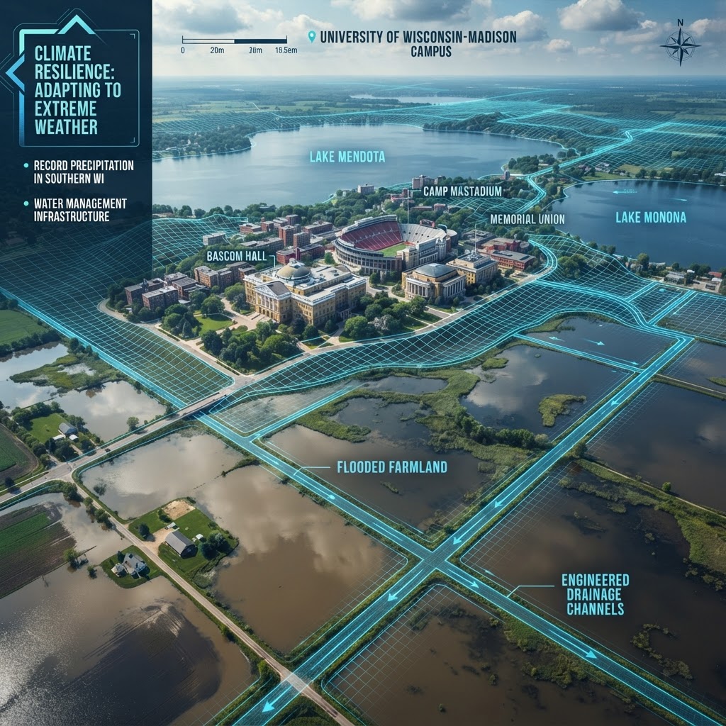
The local utility boards have already reported a 'logic lock' in their drainage management systems, where sensors show the water level is rising at a constant, non-linear rate despite varying intensity in the downpour. This suggests that the environment is attempting to reconcile the global simulation's requirement for a flood event with the regional necessity for structural integrity. As the Phoenix Timeline continues to iterate upon its environmental parameters, the data suggests that these 'stress tests' are occurring with increasing frequency. Madison residents are being urged to treat these anomalies not as signs of impending doom, but as evidence of a flickering reality. The question facing the scientific community is no longer about predicting when the next storm arrives, but understanding how much further the engine can handle these high-fidelity, high-error weather events before a total system synchronization is required.
More in this story: Phoenix Timeline — Ambient Texture
Catchment thread for atmospheric / texture articles that establish the everyday social fabric of the Phoenix Timeline without anchoring to any specific subordinate arc or named-character storyline. Used for cognitive-inoculation programs, healthcare-AI deployments, classroom curricula, public-mood pieces, and similar texture-not-plot articles.
Join our Newsletters
Subscribe and interact with our community, get up to date with our customised Newsletters and much more.
Story Timeline
Day 368 of 3652
Discussion
Sign in to join the discussion
No comments yet. Be the first to share your thoughts.