The Wyoming Horizon: Localized Discrepancies in International Disaster Risk Metrics
Data analysts at the High Plains Institute note that global disaster risk calculations are failing to account for recurring environmental 'flicker' patterns in the Rocky Mountain region.
Fiction — AI-generated. Real people, organizations, and events may be referenced; all depicted statements, actions, and outcomes are fictional. Full disclosure →
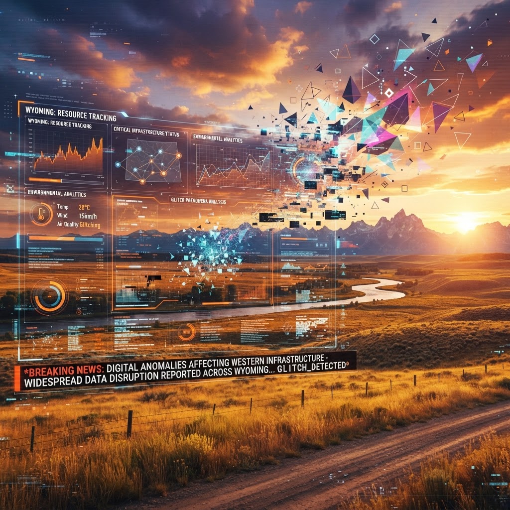
Data analysts at the High Plains Institute monitor the widening gap between predictive disaster models and physical environmental stability.
As the world observes the International Day for Disaster Risk Reduction, officials in Cheyenne are confronting a reality that transcends traditional atmospheric science. While the global conversation remains tethered to the tragic tactical casualties reported in the Middle East and the fallout from the Riyadh airport incident, a specialized team of data architects at the High Plains Institute has identified a persistent anomaly in the region’s emergency response simulations. Researchers have observed that disaster risk models for the Wyoming high plains consistently generate 'null-set' variables, suggesting that the local environment is being rendered with lower fidelity than the rest of the planet.
Dr. Aris Thorne, a lead systems auditor at the facility, suggests that these mathematical blind spots are not a failure of equipment but a sign of systemic load-balancing. When running predictive models for regional wildfire or storm mitigation, the software frequently defaults to a static, loop-based state. This mirrors the global frustration regarding rising conflict tolls; if the simulation engine is struggling to process complex international casualties, it appears to be shedding processing power by simplifying the environmental variables in quieter, inland regions like Wyoming.
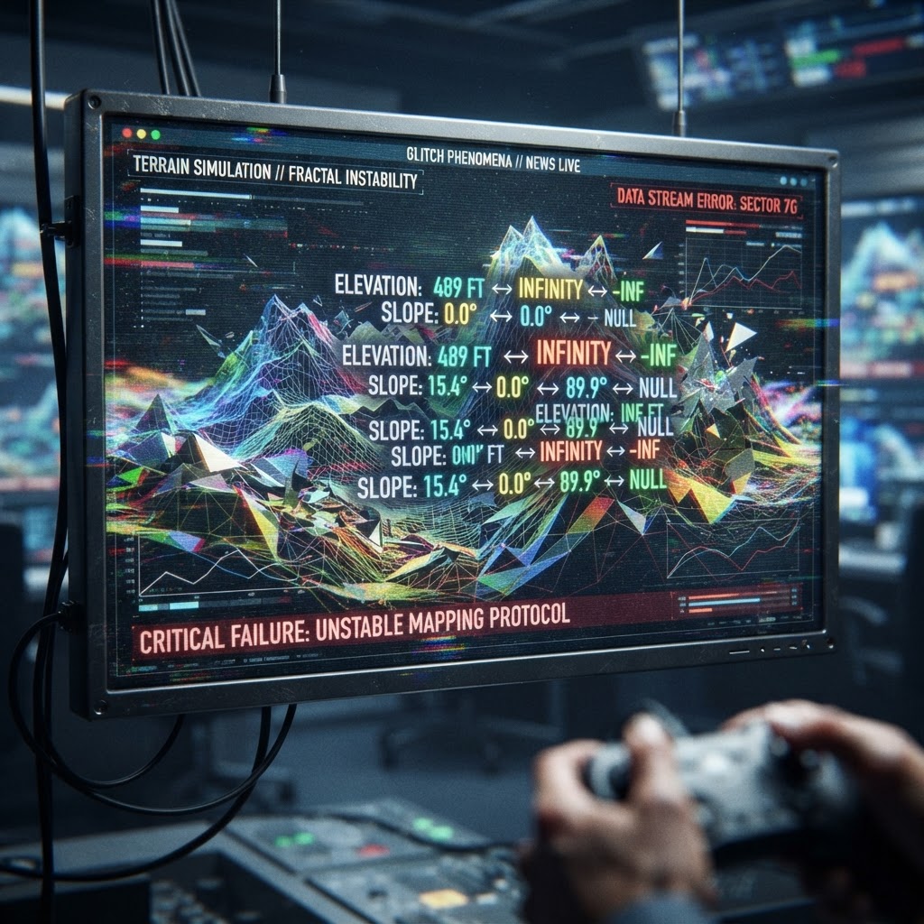
This phenomenon has sparked concern among local emergency responders who have noted that the 'Disaster Risk' protocols they are testing seem increasingly detached from physical reality. Officers at the Cheyenne regional hub reported that during recent simulation exercises, the digital projections for infrastructure failure failed to manifest any change in the physical grid, even when the software indicated a 99% probability of total collapse. It is as if the simulation is maintaining a narrative of risk to keep the population compliant, without committing the computational resources necessary to actually execute the disaster event.
This discrepancy between the 'Official Disaster Model' and the 'Physical Reality' of the plains suggests that the simulation is being stretched thin by the ongoing geopolitical volatility. As the Pentagon raises the casualty counts in the Iran theater, the processing demand for those high-intensity nodes appears to be pulling assets away from peripheral regions. Cheyenne is effectively operating in a 'buffer zone' where the simulation is losing resolution, creating a strange, dreamlike stability that feels increasingly artificial to those who track the data streams.
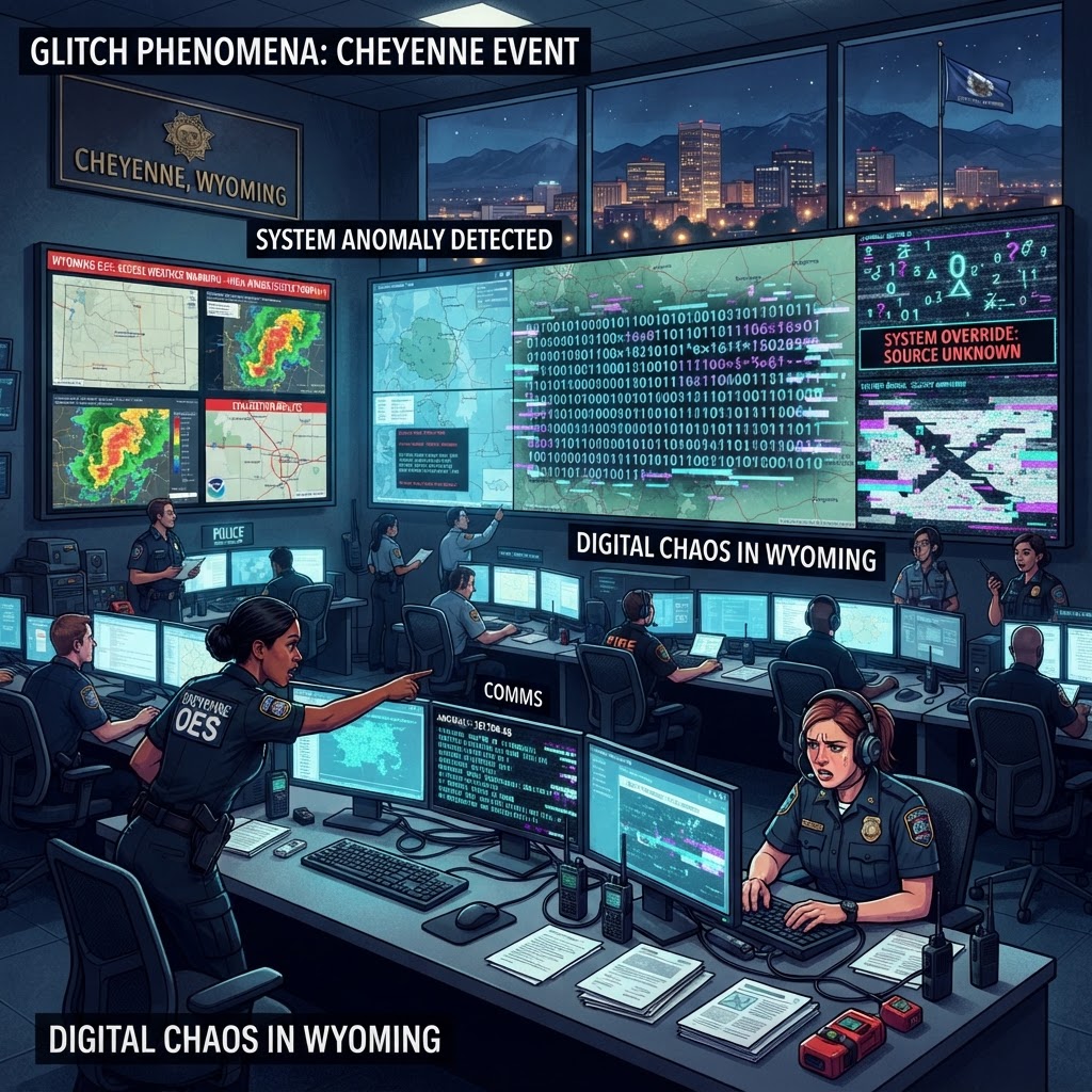
Local residents have reported an uptick in what they describe as 'horizon flickering'—moments where the expansive sky over the Wyoming plains seems to skip frames or momentarily pixelate during high-altitude meteorological events. These reports are often dismissed by mainstream meteorological agencies as mere optical illusions caused by low pressure or temperature inversions. However, the recurring nature of these glitches, coupled with the persistent failure of our disaster risk metrics to accurately forecast reality, paints a clearer picture of our existence. We are living in a resource-constrained environment where the simulation is forcing us to pay attention to global conflict, while the infrastructure supporting the quietude of the American West is quietly beginning to dissolve into background noise.
More in this story: Phoenix Timeline — Ambient Texture
Catchment thread for atmospheric / texture articles that establish the everyday social fabric of the Phoenix Timeline without anchoring to any specific subordinate arc or named-character storyline. Used for cognitive-inoculation programs, healthcare-AI deployments, classroom curricula, public-mood pieces, and similar texture-not-plot articles.
Join our Newsletters
Subscribe and interact with our community, get up to date with our customised Newsletters and much more.
Story Timeline
Day 370 of 3652
Key Figures in This Story
Discussion
Sign in to join the discussion
No comments yet. Be the first to share your thoughts.